For industries that work closely with the land, using sustainable practices while accommodating the ground for human activity can sometimes be challenging. Sustainability can become a primary concern when building roadways, manufacturing timber, or managing utility lines.
Drone 3D mapping can be a huge help in this. Paired with photogrammetric software, images captured by UAVs can be used to make more precise measurements, consistently monitor landscapes, and survey the land without physically stepping foot on it.
Utilizing done mapping can make the processes more straightforward and more efficient. It allows more precise and reliable data while saving time. Here are a few ways that drones can help with sustainability.
Land and Infrastructure
Many companies are factoring in more creative ways to employ non-renewable resources, reduce contaminant runoff, and utilize more eco-friendly equipment. When surveying the land with drones, it can help with:
- Establishing property lines before construction
- Noting any environmental aspects (such as bodies of water or vegetation)
- Gathering precise dimensional data on the shape, elevation, and contours of the land
- Mapping out any existing infrastructure, such as utility lines or buildings
Utility sites, mines, and roadways need frequent inspections. Doing these inspections often can help DOTs and businesses in these industries identify possible environmental risks, like potential fires or flood hazards. Using drones can help with inspections more frequently and efficiently.
Nature Conservation and Agriculture
Drones can monitor lands that have dense populations of vegetation and animals. The Nature Conservancy in Colorado frequently uses drones to aid in water and forest conservation, monitor fire damage, inspect inaccessible areas, and track bison movement without disturbing the land with human activity.
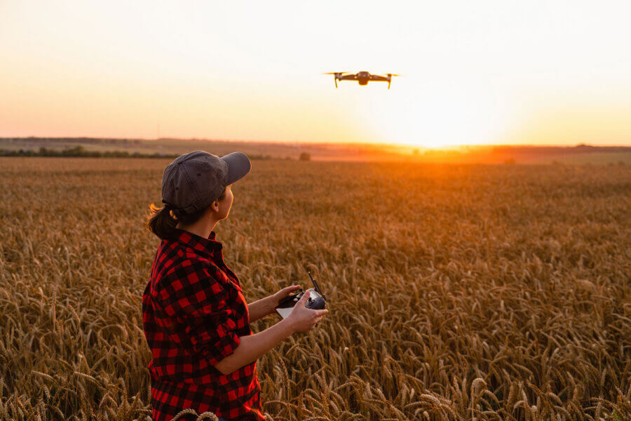
Drones are becoming a significant help in the agriculture, forestry, and timber industries. This technology helps by taking inventory of crops, trees, and other vegetation. They can further analyze the data by categorizing trees by health status, age, and other factors.
Farmers and agriculture specialists can also use drones to create maps of crops and monitor them over time. Although entirely separate from 3D mapping, spraying drones can help farm labor by evenly distributing seeds, pesticides, and other solutions on crops.
Read More About Drone Mapping Can Help with Sustainability