American Departments of Transportation across the country benefit from using drones to capture imagery from the sky. This data can work alongside the Summit Evolution photogrammetric software to create 3D models that offer DOTS invaluable data and views of the landscape below. Here are a few of the ways American DOTs are using drone imagery to save money, facilitate projects, and ease processes.
Drones Help DOTs Save Money
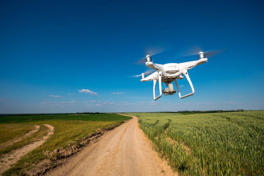
While manned helicopters and airplanes can also gather aerial imagery that can be used with Summit Evolution, drones are a much more affordable option. Small and remote-controlled, there are fewer logistics and manpower that go into running drones. While helicopters can cost close to $100,000 when fully equipped, even the best drones only cost around $5000. This saves DOTs $95,000 in equipment costs alone, not to mention savings in upkeep and labor costs.
Drones Reduce the Need for Manual Inspections
DOTs need to inspect roads, bridges, overpasses, and other infrastructure on a regular basis. Without drones, this process takes a lot of heavy machinery and large crews to complete. However, using drones to complete this task only requires one person controlling a drone in a portion of the time.
Uses of Drone Photogrammetry
DOTs are already using drones on a consistent basis to conduct research and surveying, monitor traffic conditions and road emergencies, provide imagery to the public, detect dangerous weather conditions, and more. For instance, the Utah DOT uses drone photogrammetry to monitor and measure avalanche-prone areas, helping the state department better mitigate damage.
How Summit Evolution Helps DOTs
Drone imagery reaches its true potential when paired with the Summit Evolution photogrammetric software. This software works with multiple imagery types, imports third-party softcopy, include tools for customization, is compatible with many software, is easy to use, and comes in four unique product levels. This technology allows DOTs to better interpret data captured from drones and use it to monitor, analyze, and strategize for a variety of projects.
Learn more about how DAT/EM Systems International’s Summit Evolution software is revolutionizing DOTs by reading the full blog below.
Read More About How Drones Are Transforming American DOTs