The process of photogrammetry, DAT/EM’s digital workstation software, and its features that are changing the landscape of extracting 3D photography—it’s a game-changer for drone capabilities or 3D modeling for the construction, oil, timber, and transportation industry.
Process of Photogrammetry
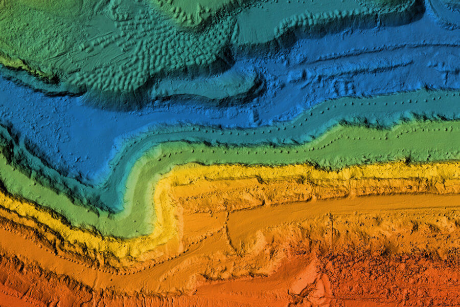
The process starts with taking photographs and then entering them into photogrammetry software that then prints out a drawing, measurement, map, or 3D model of a scene or real-world object.
There are two types of photogrammetry: aerial and terrestrial. Aerial photogrammetry (or drone photogrammetry) allows for a camera attachment, mounted on either a drone or aircraft which is pointed vertically at the ground. You then take multiple photos as the drone or aircraft moves along the flight plan.
Terrestrial photogrammetry, otherwise known as close-range photogrammetry, is when you mount the camera on the ground with either a tripod or a pole, or you can hold the camera. Aerial photogrammetry is typically used for topographic products such as maps and terrain models, whereas terrestrial is used for drawings and 3D models.
Features of Modern Photogrammetry
As you can see, the software abilities of photogrammetry are second to none, but there are many key features to consider. These include supporting:
- Monochromatic, panchromatic, and three-and-multi-channel multispectral imagery
- Scanned ariel film, matrix, and push-broom digital airborne cameras
- Small and medium-format metric cameras
- Close-range imagers
- Orthophotos
- RPC satellites
- LIDAR
- UAS imagery
- Synthetic aperture radar
Contact Summit Evolution Today
The future of photogrammetry is here. With a smorgasbord of features DAT/EM Summit Evolution offers, it’s time to take your photogrammetry to the next level. With a network of resellers worldwide, you can access the ground-breaking software for yourself and/or your customers. For over forty years, DAT/EM has been developing digital mapping photogrammetric software in Anchorage, Alaska. We provide worldwide support for all our products, utilizing video and annual software support to ensure everything is current and in good working order.
Read More About Key Features in Modern Photogrammetric Software