Humans and some animals can perceive depth and judge distance. Each eye is set a couple of inches apart from the other, each seeing an image that is similar but slightly different. Our brains can take the slightly different images, process the variations, and match them to perceive depth.
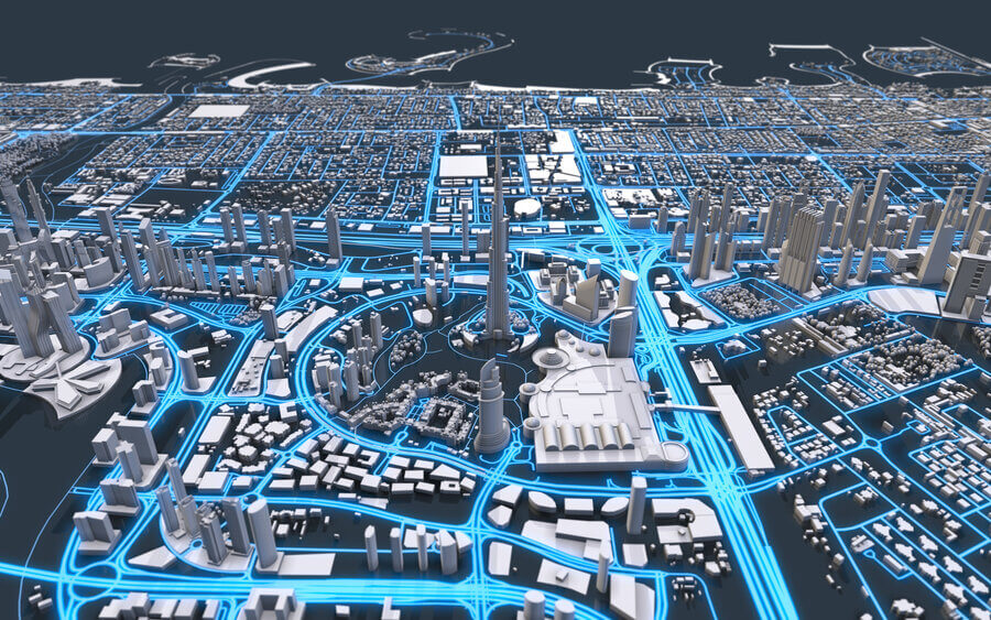
Modern photogrammetry works in a very similar way to creating 3D maps. Drones can take two photos from slightly varying viewpoints and combine them to create depth. With the proper hardware and display, you can use 3D mapping for any industry.
What Tools Do You Need for Photogrammetric 3D Mapping?
There are a few tools that you will need to create your own 3D map. The first thing you’d need is the ability to capture stereo imagery. Some examples include:
- Scanned aerial film
- Synthetic aperture radar
- Satellite sources
Aerial photography is the more common way these images are captured. While some people may use airplanes or helicopters, drones have become the main way to gather these images.
Next, you’d need specialized hardware to handle photogrammetry software, including a superior processor, power supply, graphics card, and sufficient RAM. Similarly, you’d also need proper software integrations that can complete a 3D map.
What Industries Can Use Photogrammetry?
Photogrammetry can be used in many different industries for creating plans, analyzing geographical changes, monitoring supply, and more. Some industries that can use this technology include:
- Transportation
- Timber
- Forestry
- Wildlife Management
- Agriculture
- Architecture and Engineering
- Airfields
- Watershed
What Are the Benefits?
While 2D maps can be beneficial in the modern world by creating regional maps and identifying names and cities, there is more that 3D maps can do. While they are flashy and fun to look at, they also have profitable benefits. If you need to visualize the depth in the land, determine contours, count trees, or measure the height of a building, a flat map can’t do that.
The real benefit of photogrammetry is the data that it provides. People can now use drones and 3D mapping to count vegetation and measure the height of mountains or depths of valleys without physically measuring it. With photogrammetry, there is almost no limit to the data that can be gathered from the comfort of our desks.
Read More About Photogrammetric 3D Mapping